JULY
29
2024
National Hurricane Center Says 60% Chance of Development of Storm "Debbie"
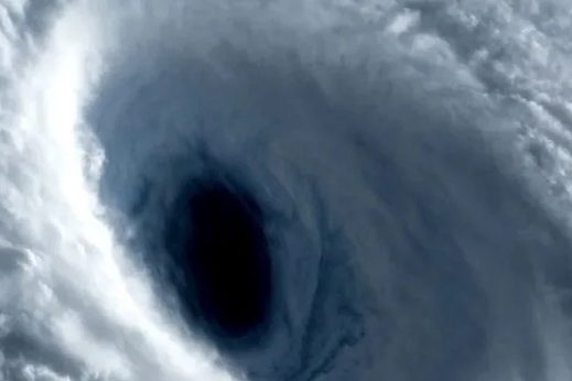
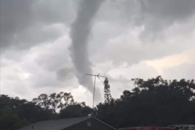
The NHC is monitoring a large and broad area of circular rotation with some disturbed weather. The chances of this area of spinning rotation over the Atlantic and becoming Tropical Storm "Debbie" is at 60%, the National Hurricane Center say.
Interests in Florida and along the eastern seaboard of the U.S. should monitor this storm closely as impacts could be felt starting as early as this weekend into next week.
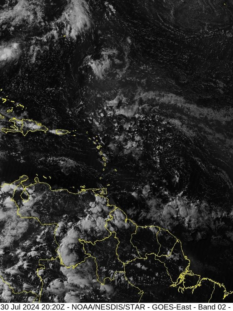
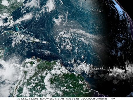
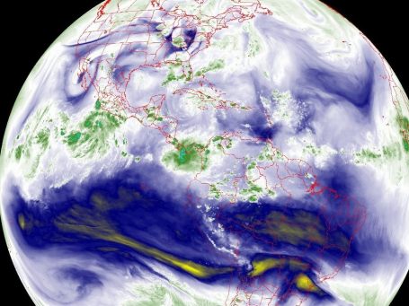
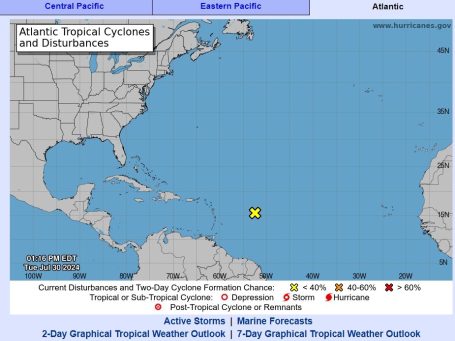
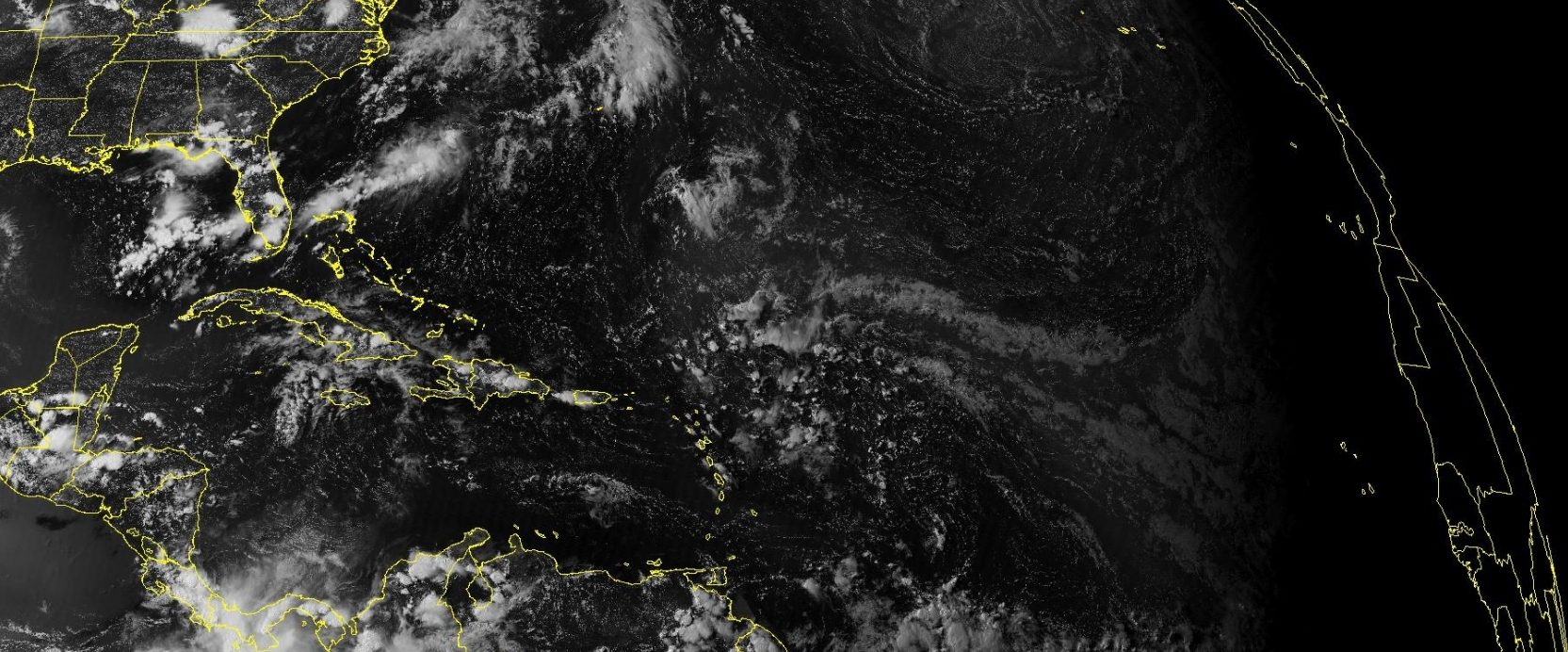
The area of tropical weather is circulating over the Tropical Atlantic just east of the Leeward Islands. It is expected to drift North-West towards Florida. Meteorologists say, "interests along Eastern Florida should pay attention."
Tropical Weather Discussion NWS National Hurricane Center Miami FL 1805 UTC Tue Jul 30 2024
Tropical Weather Discussion for North America, Central America Gulf of Mexico, Caribbean Sea, northern sections of South America, and Atlantic Ocean to the African coast from the Equator to 31N.
The following information is based on satellite imagery, weather observations, radar and meteorological analysis. Based on 1200 UTC surface analysis and satellite imagery through 1530 UTC. An Atlantic Ocean tropical wave is along 23N52W 17N51W 11N50W. Precipitation: isolated moderate to locally strong is from 10N to 23N between 45W and 63W. Strong NE to E winds are from 20N to 24N between 50W and 56W.
Fresh easterly winds are elsewhere from 17N to 27N within 240 nm on either side of the tropical wave. Broad upper level cyclonic wind flow is on top of the tropical wave, from 24N southward between 40W and 60W. A surface trough is along 23N northward between 51W and 52W.
Precipitation: isolated moderate is from 23N northward between 40W and 60W.
...MONSOON TROUGH/ITCZ... The monsoon trough passes through the coastal plains of Senegal and Gambia, from 13N to 14N between 16W and 17W, to 08N27W 08N38W. The ITCZ continues from 08N38W to 08N56W.
Precipitation: widely scattered moderate to isolated strong is within 360 nm to the southeast of the monsoon trough between the coast of Africa and 17W; within 240 nm to the south of the monsoon trough between 19W and 38W; and from 05N to 10N between 45W and 62W.
GULF OF MEXICO... A surface trough is in the Atlantic Ocean, along 31N67W 29N70W 28N76W, to south Florida near 26N81W, into the Gulf of Mexico near 26N87W.
Precipitation: widely scattered moderate to isolated strong is in the Gulf of Mexico to the east of the line from SE Louisiana to the Yucatan Peninsula. Broad surface anticyclonic wind flow covers the rest of the area. A 1020 mb high pressure center is near 27N89W. Slight seas, and moderate or slower winds, cover the Gulf. An exception is for slight to moderate seas in the SW quadrant of the Gulf. Another exception is for fresh NE to E winds within 180 nm of the NW coast of the Yucatan Peninsula. A weak ridge will remain in place from the eastern U.S. across the eastern Gulf waters through Sat allowing for gentle to moderate winds and slight to moderate seas. Fresh winds are expected near and to the NW of the Yucatan Peninsula at night during the next couple of days due to local effects.
CARIBBEAN SEA... The monsoon trough is along 09N/10N from 74W in Colombia, beyond southern Costa Rica, and into the Pacific Ocean.
Precipitation: widely scattered moderate to isolated strong is from 12N southward from 80W westward. Isolated moderate rainshowers are from 15N southward between 60W and 70W. This precipitation is on the western side of the upper level cyclonic wind flow that is on top of the 23N52W 10N50W tropical wave. Upper level cyclonic wind flow is from 70W westward.
Precipitation: isolated moderate to locally strong is from 12N to 23N from 66W westward. Strong NE winds are from 16N southward between 67W and 80W. Moderate to rough seas are from 16N southward between 74W and 81W. Moderate to fresh easterly winds are in the remainder of the Caribbean Sea.
Moderate seas are in much of the rest of the Caribbean Sea. Some exceptions are for slight to moderate seas in some parts of the eastern one-third of the area, and in some parts that are from 80W westward. The 24-hour rainfall totals in inches, for the period that ended at 30/1200 UTC, are:
- 0.28 in Trinidad;
- 0.21 in San Juan in Puerto Rico;
- 0.11 in Freeport in the Bahamas;
- 0.09 in Bermuda.
This information is from the Pan American Temperature and Precipitation Tables/MIATPTPAN.
High pressure across the N central Atlantic extends SW to the central Bahamas. The pressure gradient between this ridge and lower pressure over Colombia is supporting fresh to strong trade winds and rough seas across the central Caribbean.
A tropical wave over the tropical Atlantic will enter the eastern Caribbean tonight into early Wed, then move across the central Caribbean Thu and Fri. This will break up the dominance of the ridge, and allow winds and seas to diminish slightly across the central Caribbean. However, there is some potential for a tropical depression to form late this week in the vicinity of the Greater Antilles or Bahamas.
ATLANTIC OCEAN... A surface trough is in the Atlantic Ocean, along 31N67W 29N70W 28N76W, to south Florida near 26N81W, into the Gulf of Mexico near 26N87W.
Precipitation: widely scattered moderate to isolated strong is in the Atlantic Ocean to the north of the line 24N80W in the Straits of Florida beyond 31N61W. Upper level cyclonic wind flow, and isolated moderate convective precipitation, are from 22N northward between 50W and 64W.
A 1030 mb high pressure center is near 37N53W. Moderate to rough seas are from 16N southward from 30W eastward. Slight seas are from 60W westward; from 11N southward between 50W and 60W; and from 26N northward between 30W and 50W. Moderate seas are in the remainder of the Atlantic Ocean.
Fresh NE winds are from 22N to 24N between 38W and 42W. Fresh northerly winds are from 19N to 24N within 120 nm of the coast of Africa. Fresh southerly winds are from 09N southward between 13W and 33W. Moderate or slower winds are in the remainder of the Atlantic Ocean. A surface trough extends from just west of Bermuda to near 29.5N75W to near Palm Beach, Florida, displacing the Atlantic ridge farther to the NE. This pattern is supporting light to gentle breezes and slight seas north of 22N, and moderate winds and seas south to 22N.
The trough will shift north of the area this evening, allowing the ridge to build westward from the N central Atlantic to central Florida. Winds and seas associated with a vigorous tropical wave will increase northeast of the Leeward Islands tonight into Wed, then shift to the north of Puerto Rico and Hispaniola through Thu, across the Bahamas Fri and Fri night and north-northeast of the Bahamas Sat and Sat night.
There is some potential for a tropical depression to form late this week in the vicinity of the Bahamas.
$$ mt/ss
©Copyright 2024. All rights reserved. The Blake Moia Show. Privacy Policy
We need your consent to load the translations
We use a third-party service to translate the website content that may collect data about your activity. Please review the details in the privacy policy and accept the service to view the translations.


